On Friday morning, since Chris slept in, we decided to bag the Mount Hunger hike and opted for Sterling Pond instead. Sterling Pond is also considered a “moderate” hike and since no elevation was given on the list of hikes provided by the tourist information office we assumed it was relatively flat … wrong!
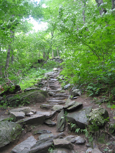
I took this shot of the path as we were leaving; it doesn’t do just to the initial climb up the stone steps.
You’re supposed to pick up the trail-head for Sterling Pond at the visitor center at Smuggler’s Notch (i.e., the small notch that goes between two mountains, or in Vermontese speak, hills as we came to find out during our bike ride). Anyway, this notch is so narrow that it’s only clear for driving during the summer. During the winter people must drive an extra like 30 minutes to get around the mountain.
The weather’s not great, kind of overcast but muggy and warm as we head up to the notch. The temp drops about six degrees between the base of the mountain and the top and Chris gets to see what part of the climb he missed the previous day on his bike. It’s somewhat treacherous with steep, narrow, switchback climbs but he’s still determined to do it today.
Anyway, we’re not seeing the Visitor Center anywhere. So we finally stop and ask some guy doing construction on the side of the road (it looks like they’re putting in a parking lot and building a small house), where the Visitor Center is; he shrugs, he’s not sure but thinks it’s up ahead on the right.
Well, we end up driving all the way down the other side of the mountain, to the Smuggler’s Notch resort when it occurs to us, perhaps that “house” they were working on was/is the Visitor Center. So we head back up. Sure enough, coming from this direction, we can see the bulletin boards with maps and stuff at the far end of the “parking lot.” So we pull off into an area where others have parked just up the road from the construction and walk back to check things out.
Within a few minutes, we cross the street, find the trail head (marked with 2″ by 6″ blue blazes) and begin our climb. Yes our climb, up steep stone steps made slippery by some overnight rain. For the first ten minutes or so, as we make our ascent we can still here the “Beep, beep, beep” of the paving equipment below which kind of loses the ambiance but soon those sounds fade into oblivion and all we hear, is the wind sweeping through the trees.
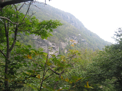
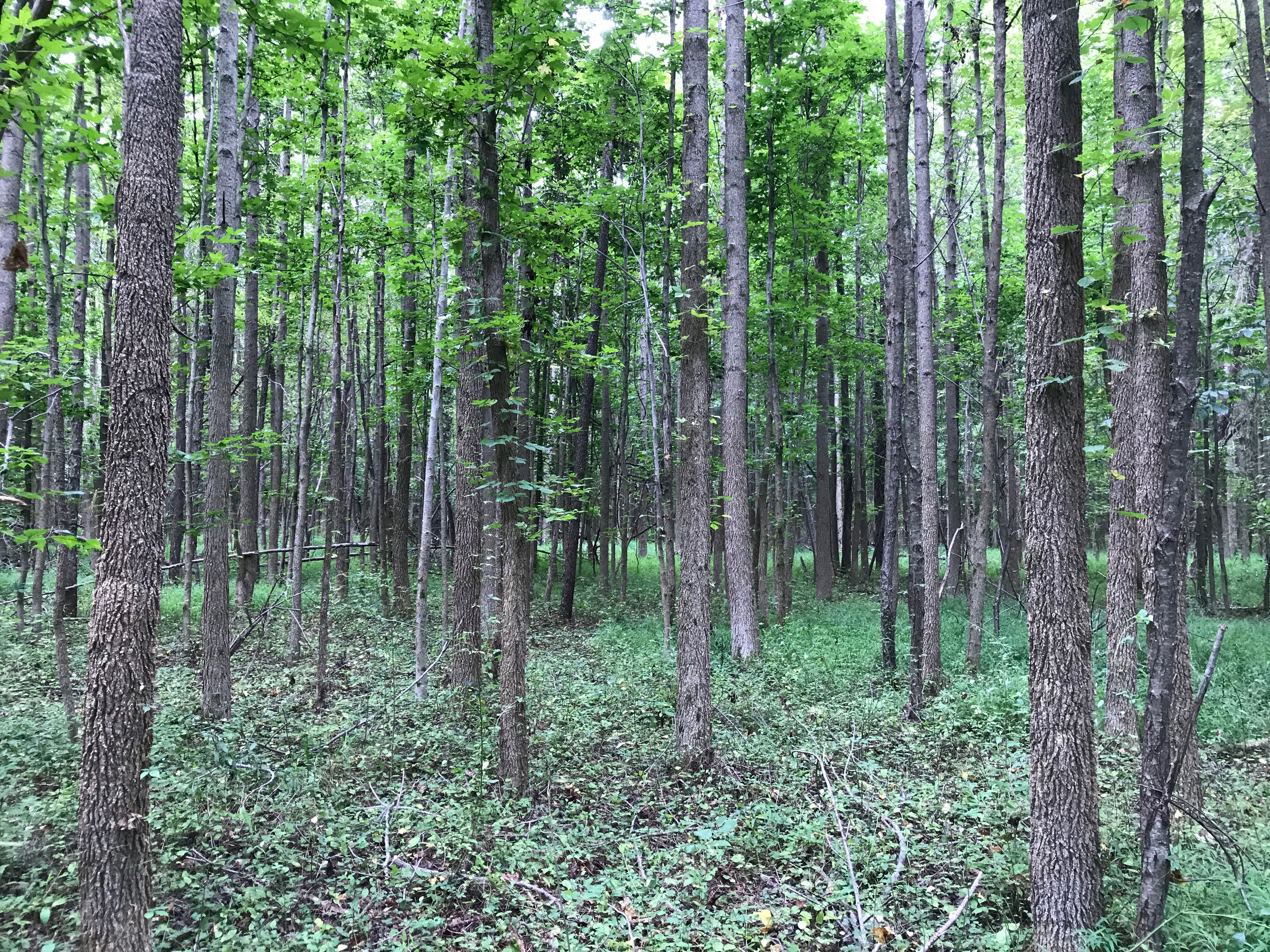
A “view” from the hike
I think this climb is a bit more treacherous than Stowe Pinnacle, with narrow paths along the cliff edge at points, and rocks made slippery with moisture from the rain, and brooks that babble down the mountainside but I enjoy it. We meet one other family coming down, and no one else on our way up. Eventually, we reach a “summit” or flat area really but with no vistas to speak of because we’re still surrounded by forest. This trail hooks up with the long trail which runs throughout Vermont.
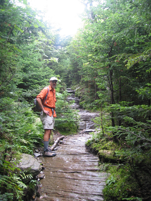
Another Climb
We follow a sign for Sterling Pond and after a short, semi-slippery, shale covered descent, we’re into the little valley that holds the pond. That’s your reward for this hike and it’s well worth it. It took us about an even 60 minutes to reach the pond and we just hang, enjoying the solitude for a while. I took a 15 second video on my camera but I need to load it onto the laptop still to see if it’s worth posting.
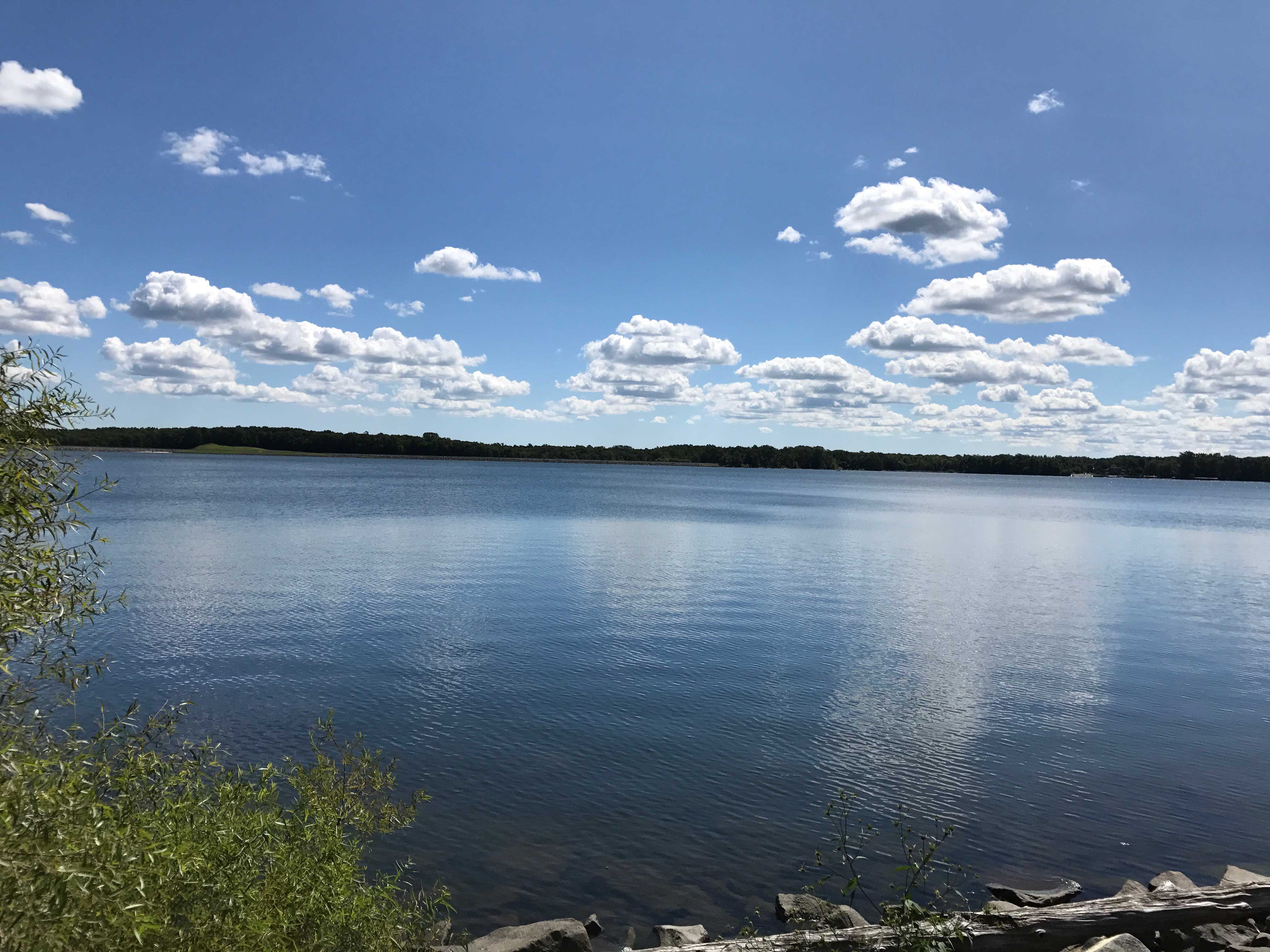
Our first view of Sterling Pond
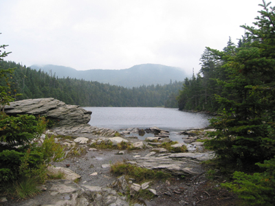
Sterling Pond
Eventually, all good things must come to an end and after a pit stop (wink, wink), we begin our climb out of the valley as another couple arrives. For a second we hesitated, almost missing the trail back down as the Long Trail goes off straight when we needed to make a right, but it’s barely a split second of confusion.

Sterling Pond Wildlife
The walk back down isn’t as bad as I feared it would be and we pass over a dozen people hiking up as we leave. It makes me glad again that we left early (hit the trail about 10:30) because I think people bring picnic lunches and time their arrivals for between noon and one, and we prefer the solitude of the place than the lunch their.
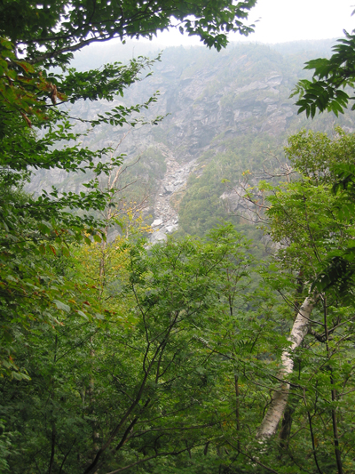
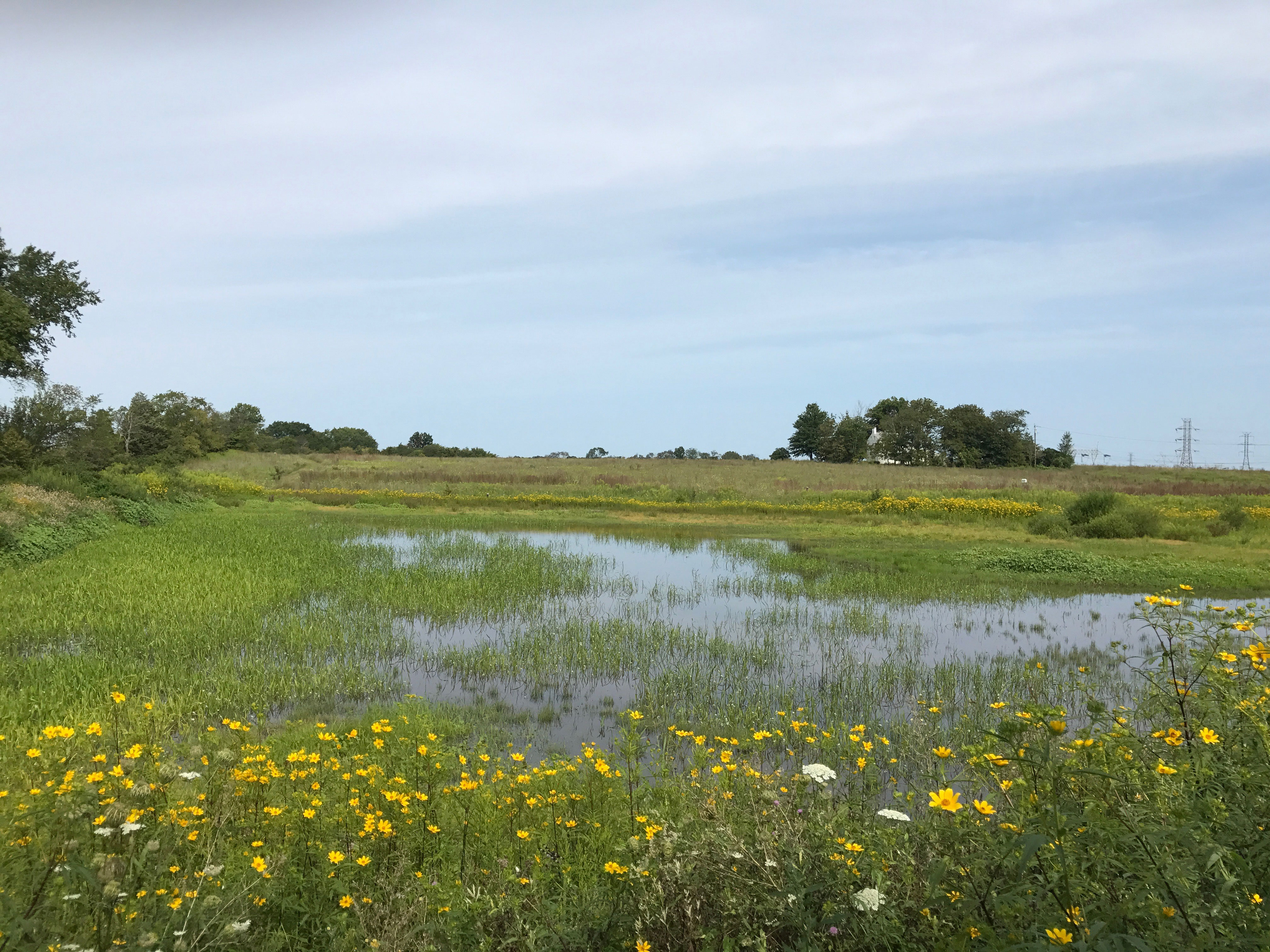
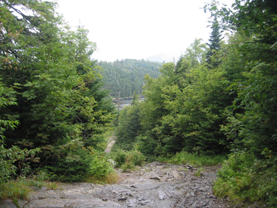
View of the Next Mountain Over
Again, about an hour back down, and we check the maps at the “Visitor Center” to find out how far we climbed on this one mile hike. It was 1000 feet – not too shabby. A good short hike for the morning.