
 Originally, Chris wanted to do a complete hike of Mount Mansfield, up the Sunset Ridge Trail but that takes about five hours and is rated difficult and let’s face it, I didn’t think I was up to it. So as a compromise for Thursday morning, he suggested driving up the Toll Road (which takes you up to about 3850 feet and walking along the ridge-line to chin (Mount Mansfield’s profile is like a man’s face lying on his back, face-up, with the chin being the highest point at 4,393 feet. The ridge trail basically follows the Long Trail, marked by a series of White Blazes.
Well, I’m here to tell you that I think the worst part of this hike was the ride up that flipping toll road! Twenty three dollars for the privilege of climbing all those feet, on hairpin turns, steep sections, barely one lane, unpaved road. Chris had to pry my fingers from the door handle when we arrived at the top as I was rendered a whimpering mass of … well something.
Now at the top, I spied the porta-potties, and let me just say, I should have used them! This hike would have been so much more enjoyable if I didn’t have to piss the entire time! And as it’s an endangered, arctic zone, I felt way too guilty about going au natural, so held it in, I did (rendered another quivering mass darting for the porta-potties by the end).
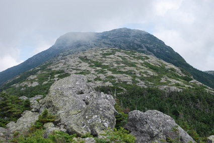
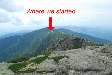
So basically, other than that, it’s a really cool hike along the ridge line from the top of the toll road all the way to the chin. The thing is, when you start, you really can’t see the chin, so you don’t realize how far you have to go. I bet a lot of people think they’ve reached the high point when they haven’t.
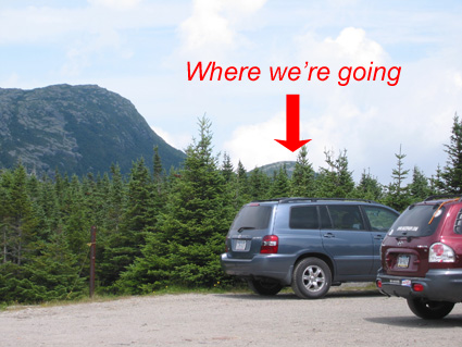
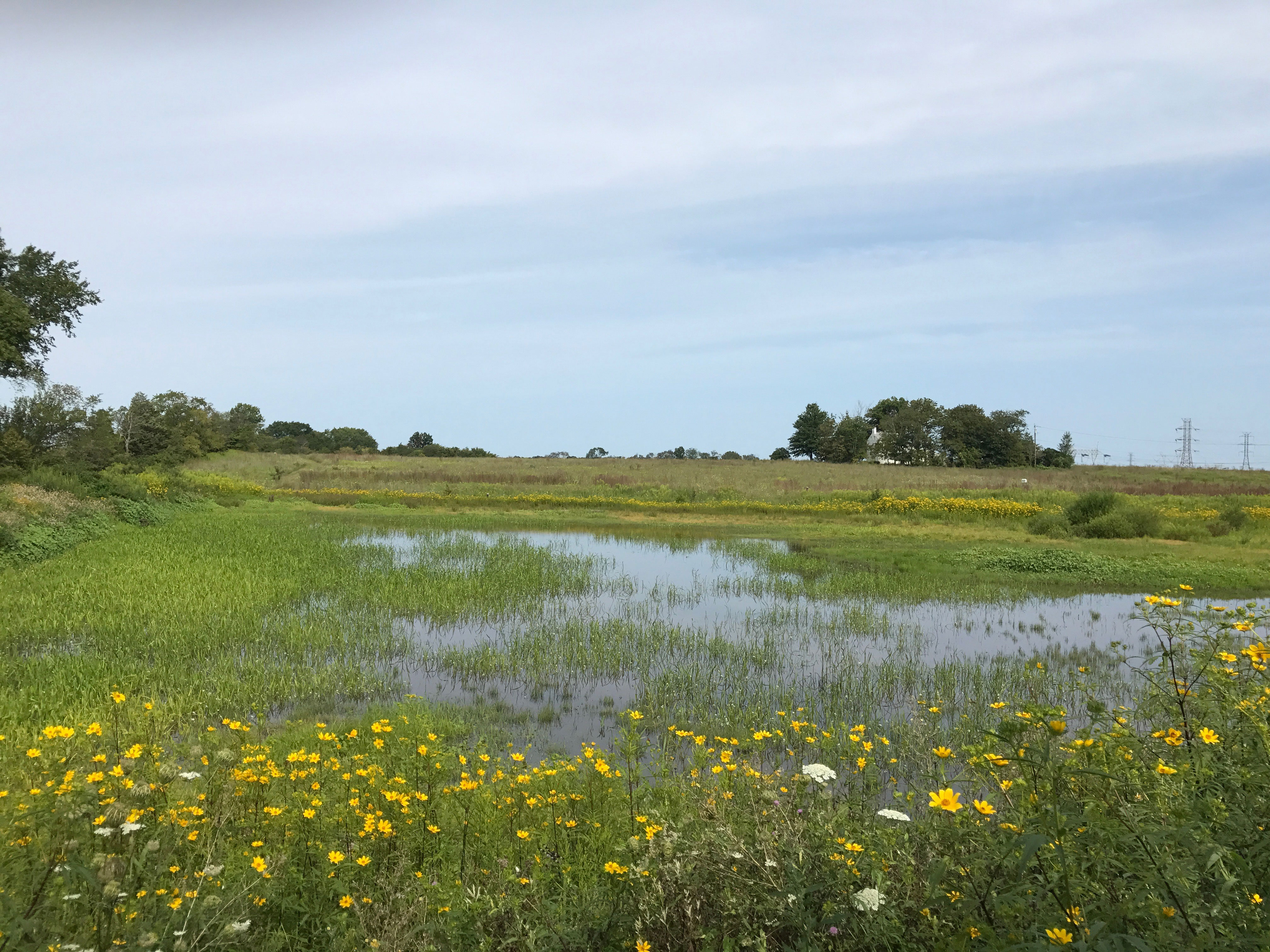
Where We Thought We Were Going
There was only one area, where you climb along the edge of some rocks, and could slide down the edge, that I got a bit freaky on, oh and at the very end, I just felt a bit more comfortable toward the center of the mountain rather than the edge, but other than, it was pretty cool and not too difficult at all. Though – if you don’t want to scramble across and up some rocks (aka boulders) maybe not for you.
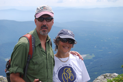
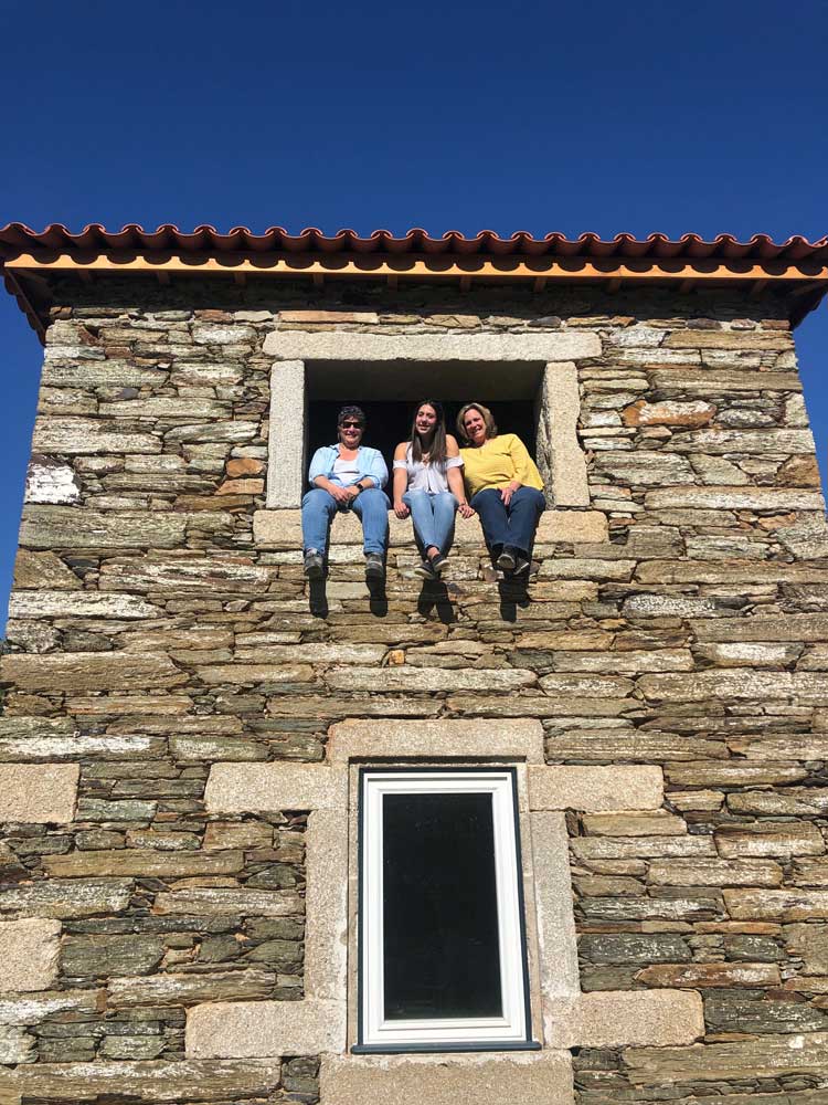
Kim and Chris at the top
Going out, we ran into only one other couple and one guy with a dog, so I was totally shocked at the crowds on the summit (aka chin). I guess they all took the really long way up, or the Gondola (which leads to another, shorter but harder trail), which is kind of impressive considering it was only about 11:30 or so in the morning when we arrived.
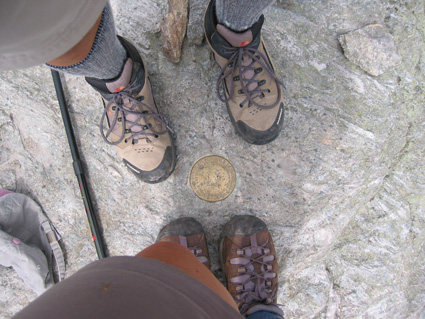
Obligatory Foot Shot
After spending some time at the summit, enjoying the views, (we were above some clouds), we headed back (read that as mad dash) and the need to pee overtook the fear of heights, so definitely made good time.
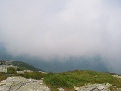
The Clouds Swept Across the Top – So Did the Flies Suprisingly
Oh, and going down the toll road wasn’t as bad as coming up, though we did have to deal with one on-coming car (going down always has the right of way, so go us!), and boy could we smell his brakes burning!
All in all, definitely worth the trip and the money.
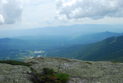
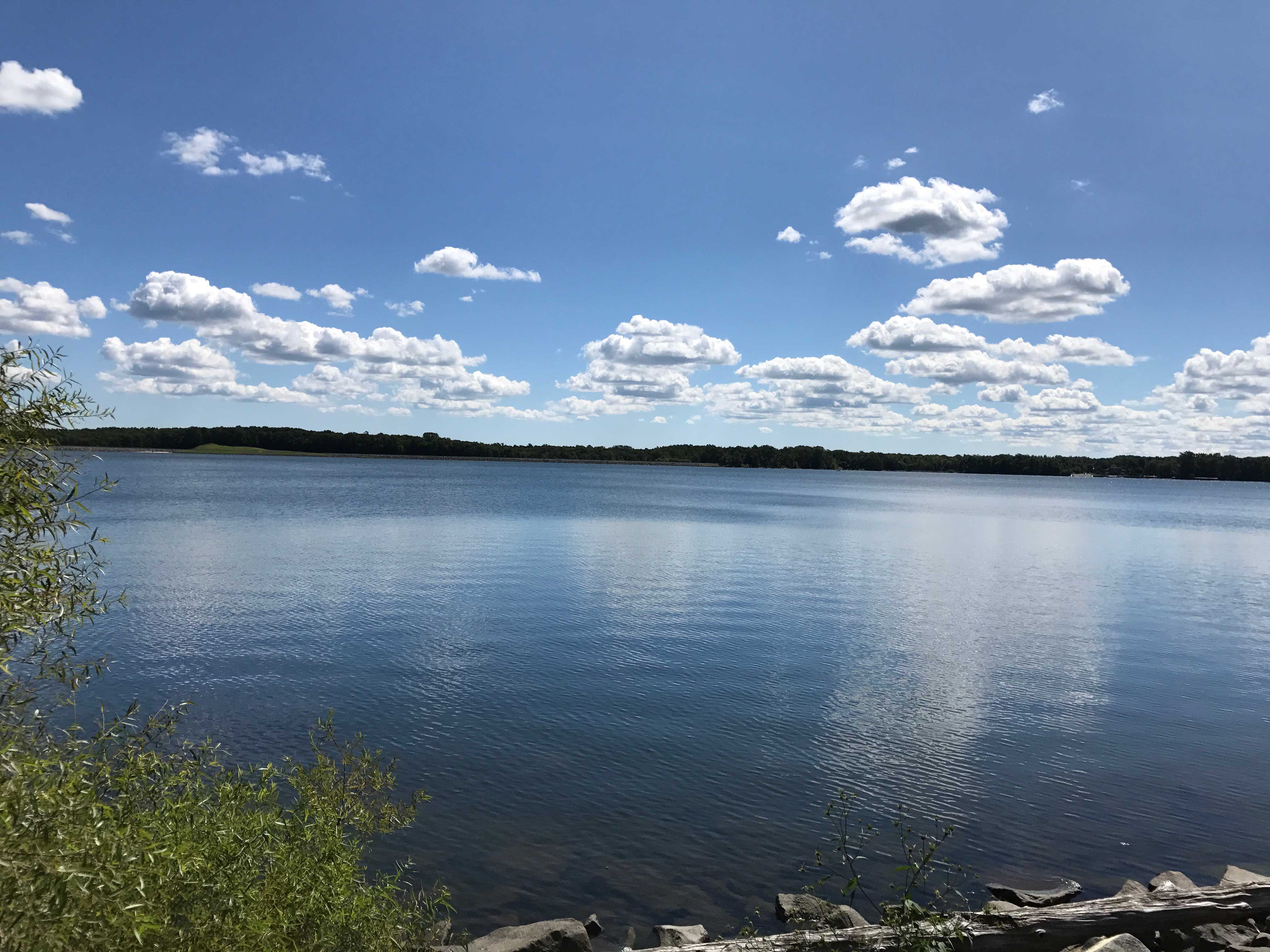
The View From The Top
[…] ← Mount Mansfield Another Car Saga → […]
I would have probably thrown up on the drive up. Great description of your hike. I love the photo of you and Chris as well as all of your photos. What a beautiful hike. I can’t believe you waited til the end to pee. I never would have been able to wait. You must have an iron bladder.
I give you a lot of credit for doing this.I don’t think there is any way you can ever get me up there. I will have to enjoy the scenery from your amazing photos.